AI D&D map maker for fantasy worlds and battle maps
World, region, city, dungeon and battle map concepts
getimg.ai's AI map maker turns a text description into visual maps for fantasy worlds, tabletop RPG campaigns, cities, dungeons and battle encounters. Describe the map type, scale, terrain, landmarks and style, then generate and refine several directions. Generate a map concept you can use in your campaign or refine for your tabletop setup.
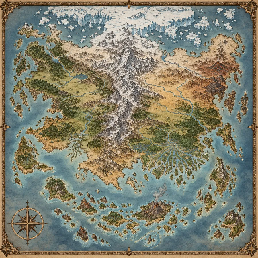
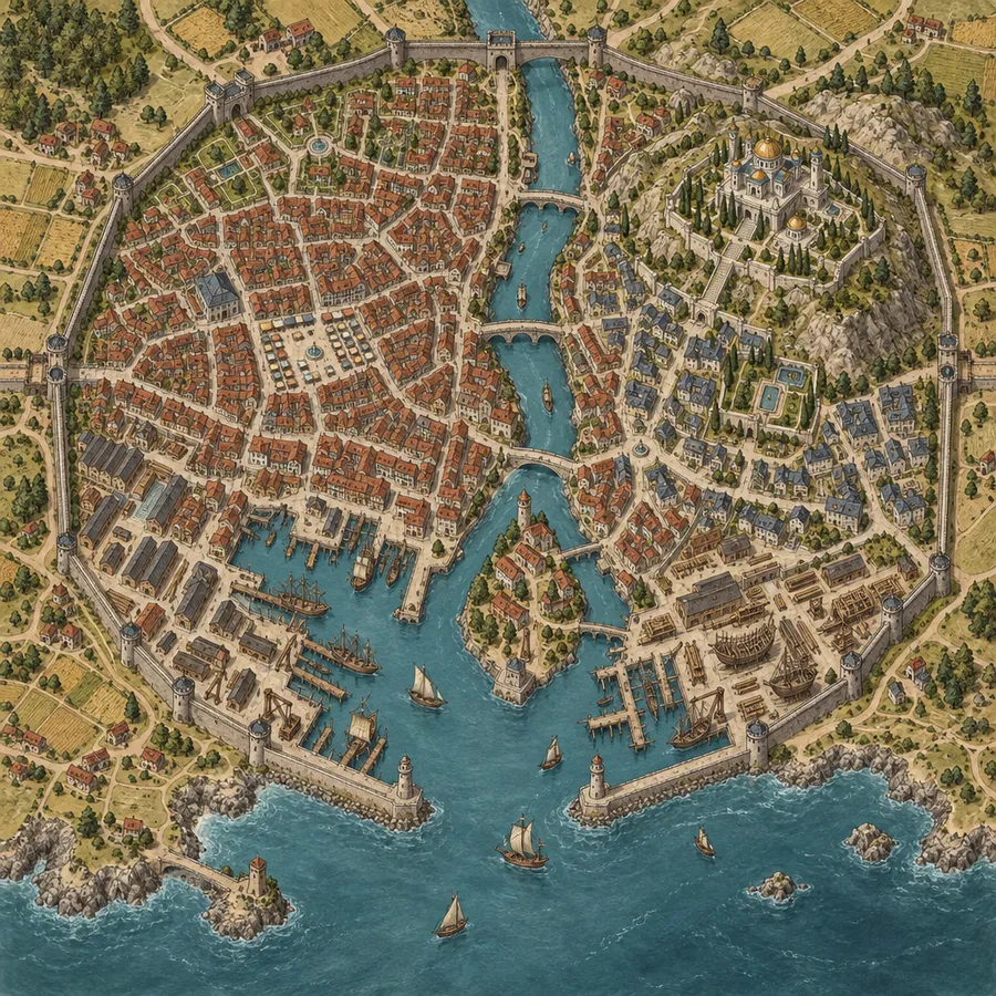
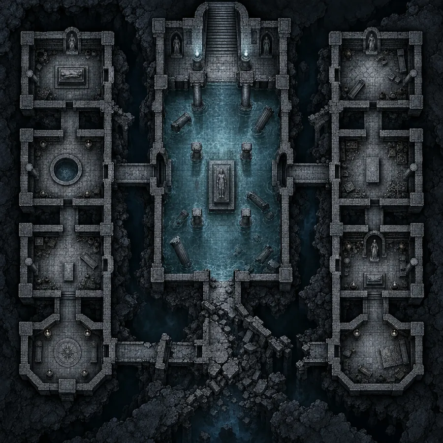
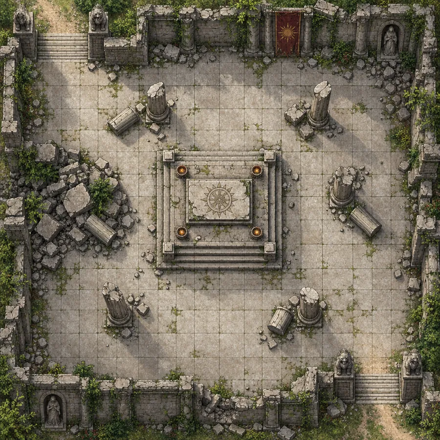
From rough idea to campaign-ready map concept
You don't need cartography software to prep a session. Describe the map type, scale and terrain, generate several directions, then refine the one that fits your world.
A model picked for your prompt
getimg.ai reads your prompt and selects an image model based on it. No model names to research, no settings to tune.
Auto selection

Nano Banana 2
Google's image model. Clean linework and readable labels for battle maps and region maps.

GPT Image 2
OpenAI's image model. Painterly terrain and atmosphere for world maps and campaign settings.
Several maps from one prompt
Generate a batch and compare directions side by side. Keep the layout that fits your world, then refine it.
Prompt, generate, download
The whole flow is three controls. Type what you want, generate, then download the map for printing or import it into your VTT workflow.
Prompt
Generate
Download
How to make your map
Three steps from prompt to generated map.
1. Open Create image
Open the Create image Action in getimg.ai by clicking here.
2. Write a prompt
Name the map type, perspective, scale, terrain, landmarks and style. Take a look at the examples below, or check out our prompting guide to learn more.
3. Generate your map
Generate, compare the results, then adjust the prompt and run it again until the map fits your world.
-1920x1920.webp)
AI D&D map prompt examples
A map prompt works best when it names six things: map type, perspective, scale, terrain or layout, landmarks, and style. Add a grid instruction when you need one, and say whether you want labels.
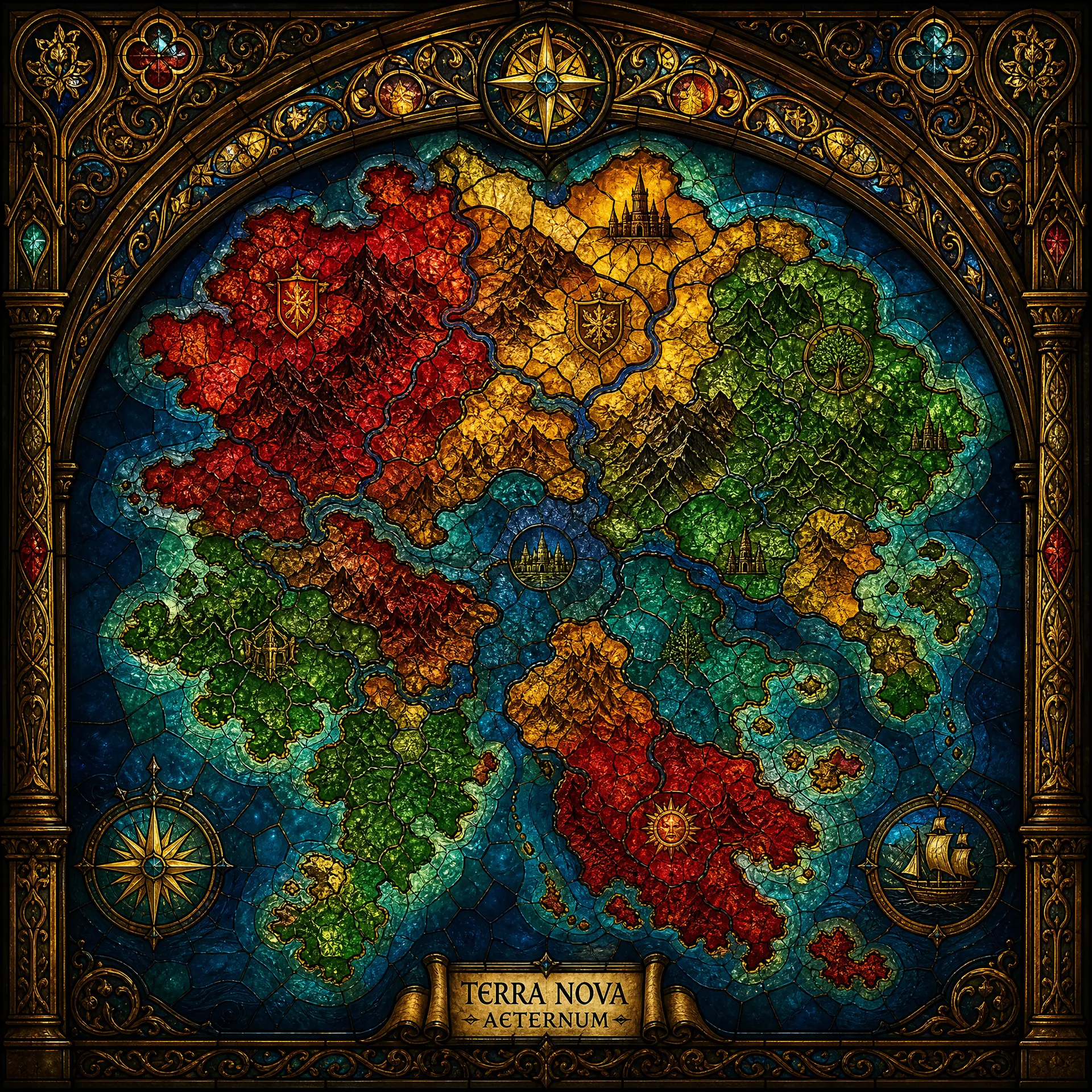
World map
Continent and world scale. Name the landmasses, the climate bands and the major features, then let the coastline shape itself.
Guide the scale, terrain and landmarks with your prompt
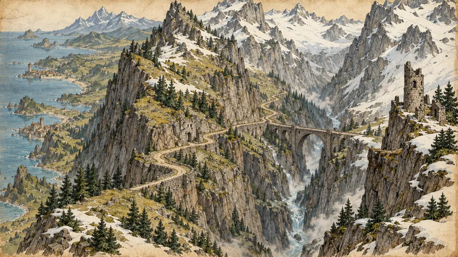
Describe mountains, rivers, forests, settlements and other features, then iterate on the version closest to your world. Work at the scale you need: a whole continent, one region, a single city, or one room for an encounter. Generate, compare, refine.
-1920x1920.webp)
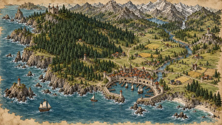
Hand-drawn fantasy map of a coastal kingdom featuring intricate detail, with lush dense forest bordering the shoreline, majestic mountain range, looming in the background, a port, houses, settlement with a castle, inspired by classic adventure illustrations, highly detailed
Your map, your style and perspective
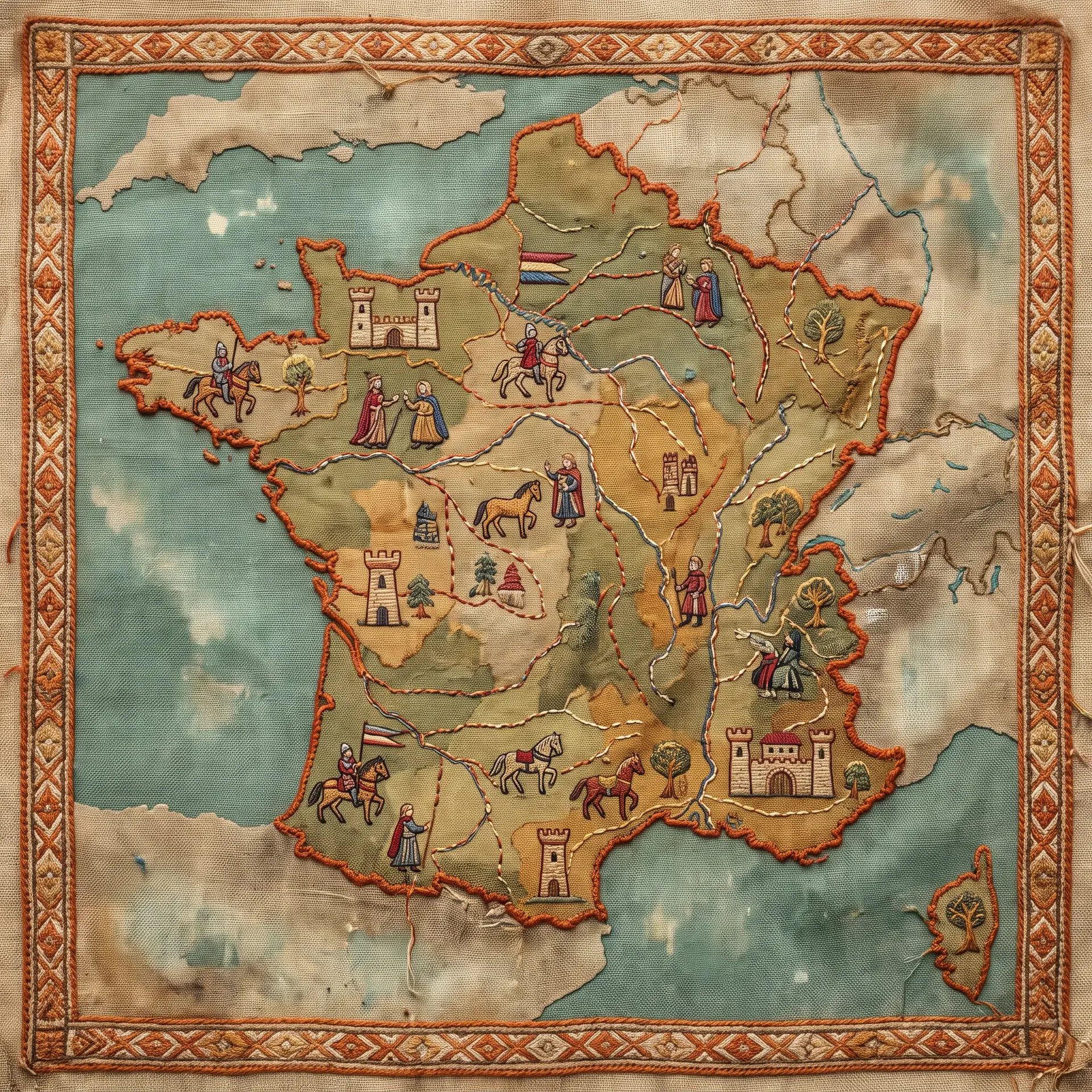
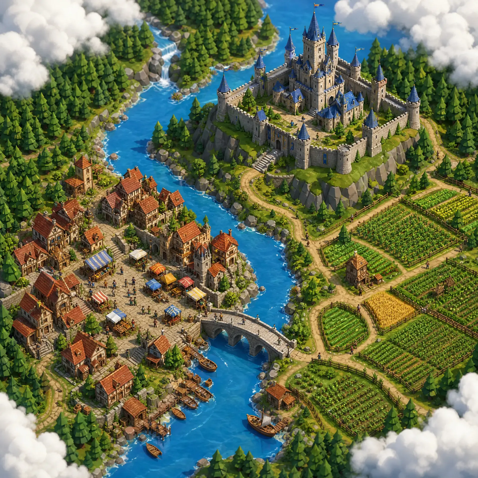
Style and perspective change how usable a map is at the table. Ask for hand-drawn fantasy, parchment, topographic, old nautical chart, minimal region map, dark fantasy or neon cyberpunk city. Then set the viewpoint: top-down tactical, isometric, or illustrated overhead.
AI map image vs tactical battle map
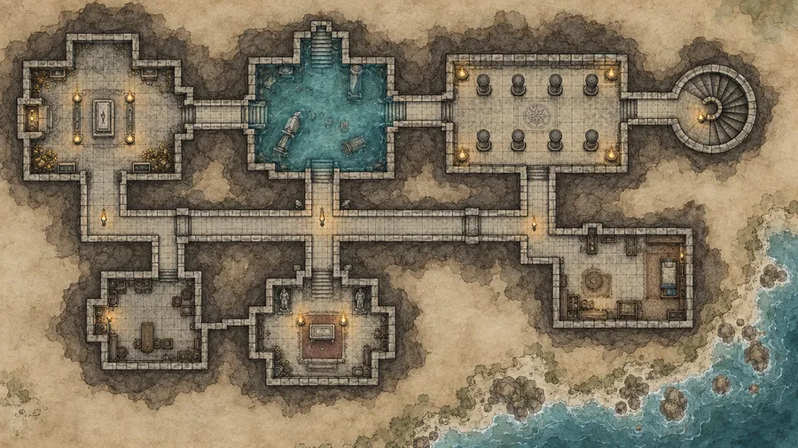
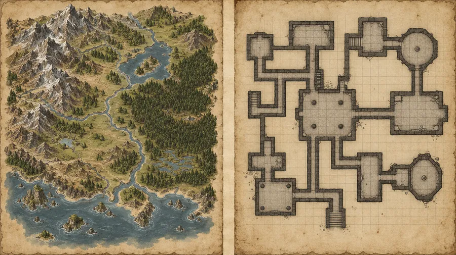
A generated map is an image, not a grid-snapped virtual tabletop file. For world, region and city maps that distinction rarely matters: the output is a finished visual you can hand to your players. For tactical combat, check the map before the session.
Create environments around the encounter you actually planned
A coastal village for an ambush, a ruined temple for a boss fight, a forest crossing split by a river, an underground crypt with several rooms. Describe the encounter you wrote, then generate the environment it needs instead of reaching for a stock battle map.
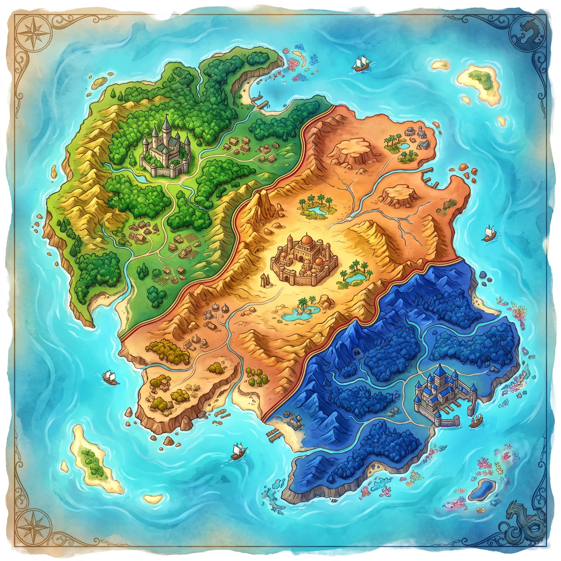
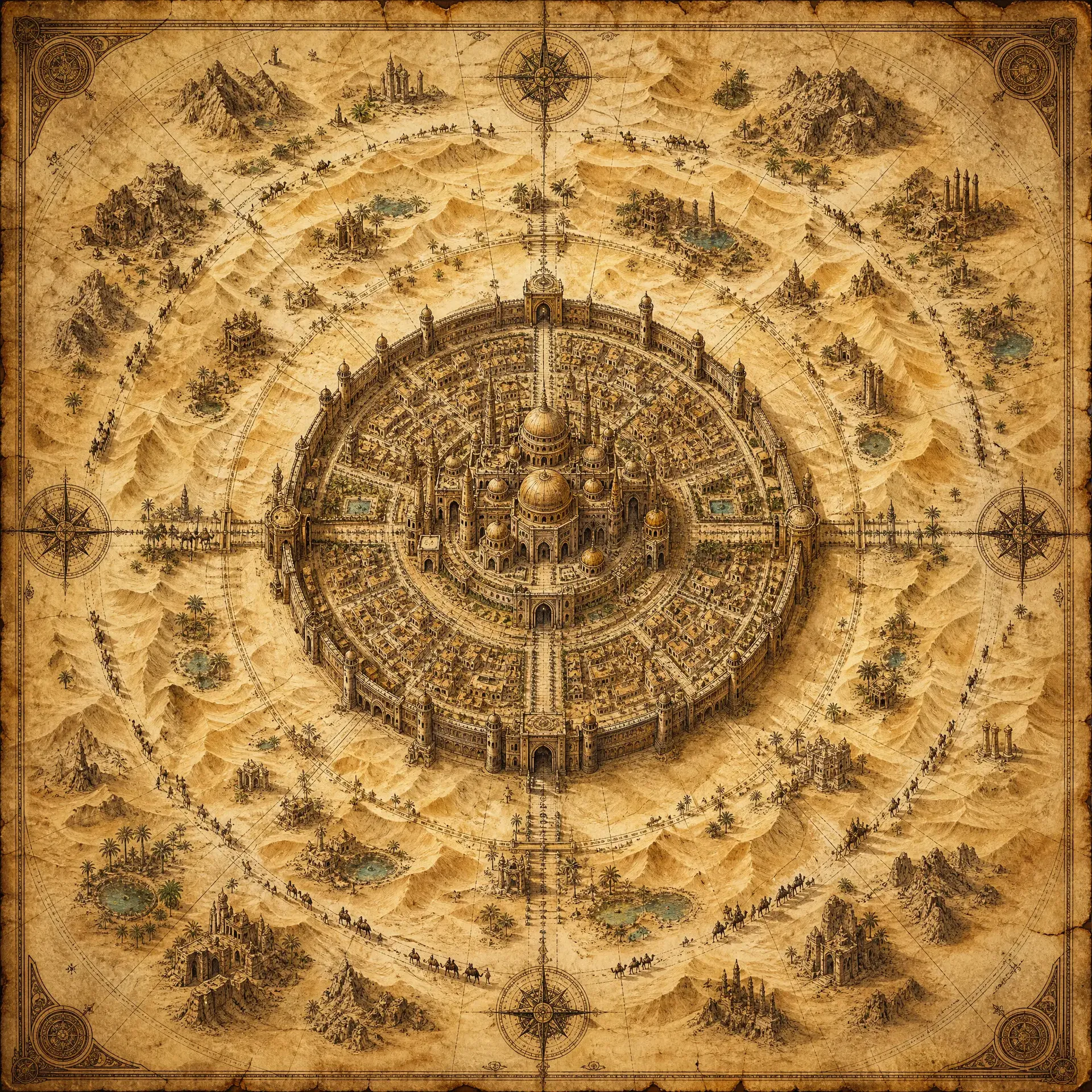
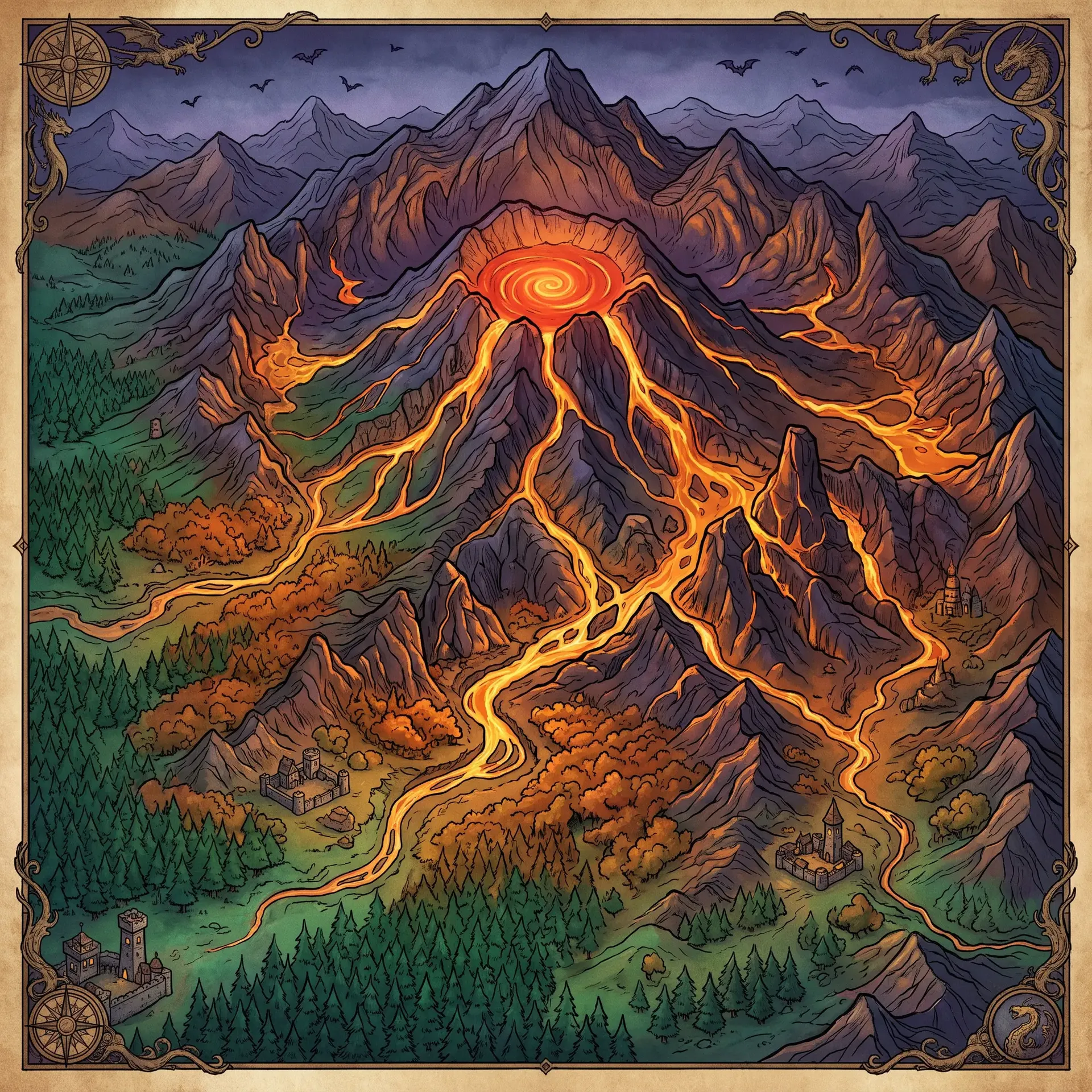
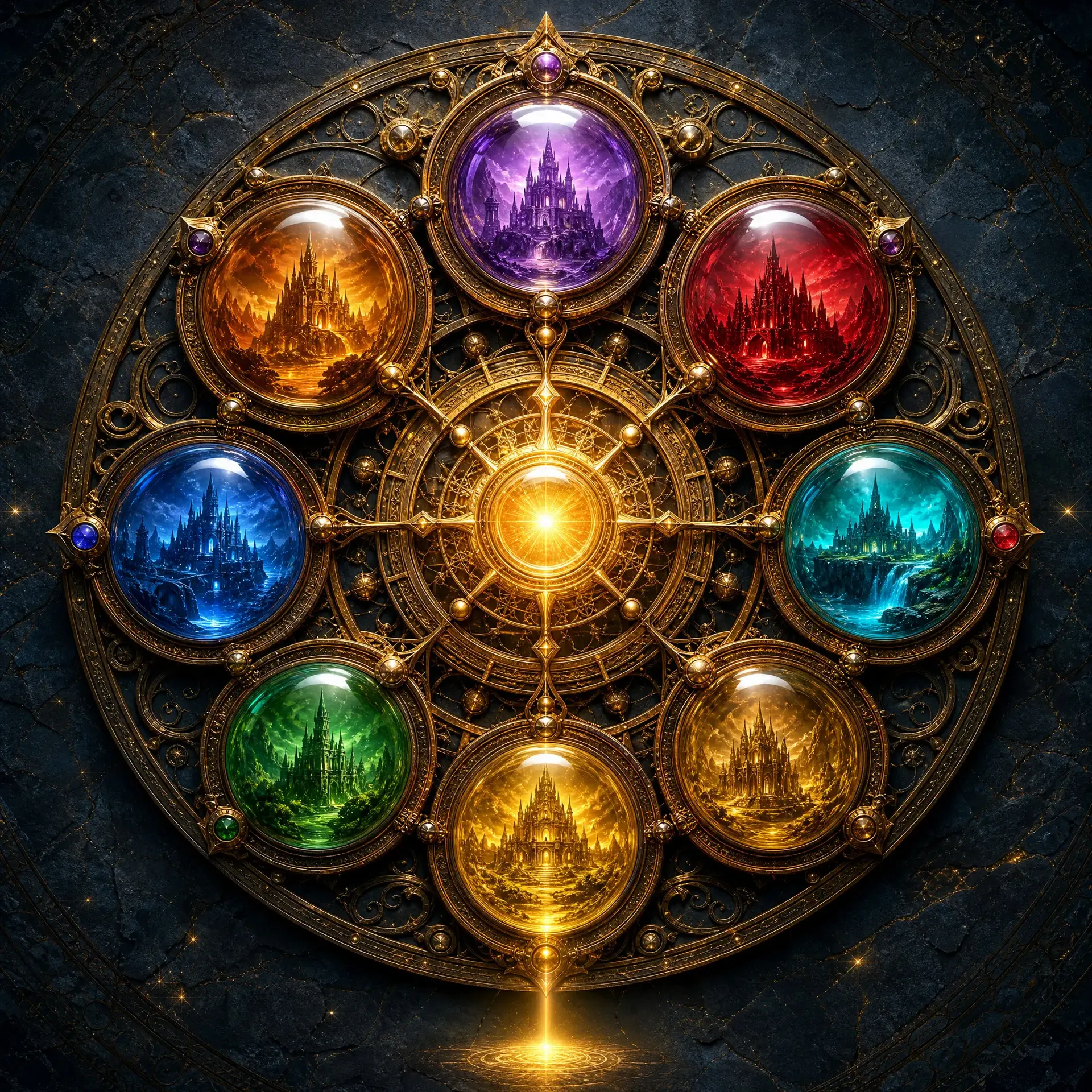
Text labels need a second look
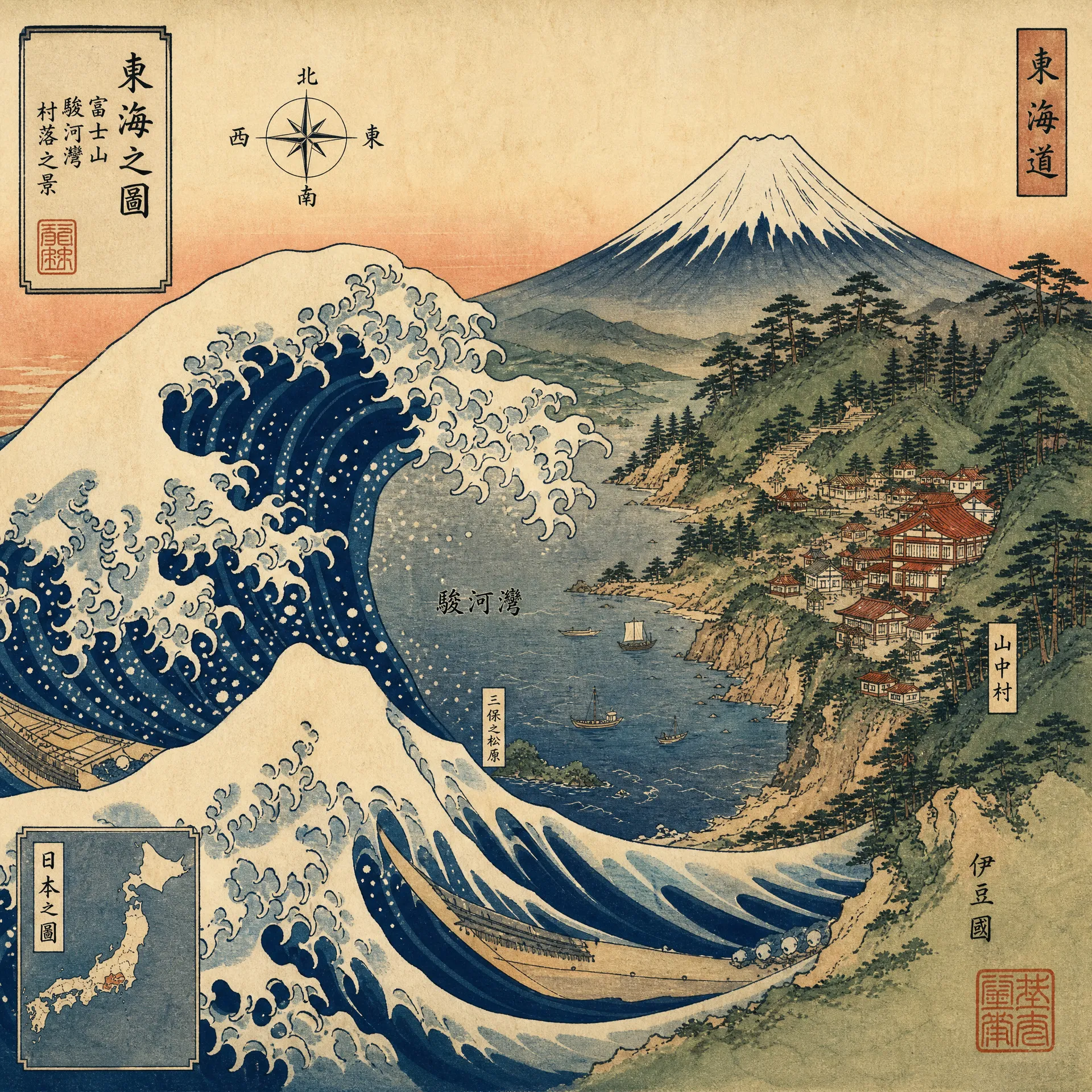
Place names carry a lot of weight on a fantasy map, and image models still mis-render them. Blackwater Keep can come back as Blackwatr Kepe, or land in the sea.
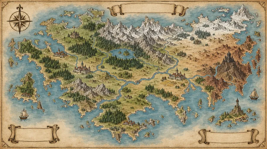
Generate the map, then keep refining it
A generated map isn't the end of the workflow. Open the result in getimg.ai and keep working on it: move a city, remove a feature that doesn't fit the lore, extend the composition past the original frame, or upscale up to 2x before printing.
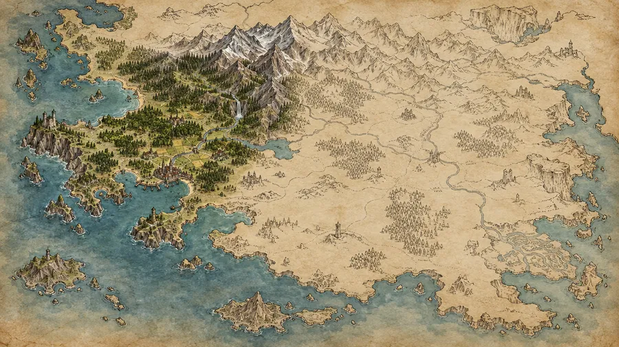
Maps for more than D&D
The same prompt structure covers any setting that needs a map. Nothing about the workflow is specific to one ruleset.
Tabletop RPGs
D&D, Pathfinder-style systems and indie RPGs all run on the same map types: world, region, city, dungeon, encounter.
Keep building your world
Frequently Asked Questions
You write a prompt describing the map: map type (world, region, city, dungeon, battle map), perspective, scale, terrain, landmarks and art style. An image model generates a visual map from that description, and you iterate on the version closest to what you need. Download it for printing, share it with your table, or use it in a worldbuilding project. Commercial rights are included on paid plans, subject to our Terms and use restrictions.
World maps, continent maps, regional maps, kingdom maps, city maps, dungeon maps and battle maps. Interior encounter scenes such as taverns, crypts and temples work as well. Each type can be generated in different styles, from hand-drawn fantasy and parchment to topographic and isometric.
You can ask for a top-down battle map with a square or hex grid, and the model will draw one. Treat it as a map concept rather than a measured tactical map: check grid alignment, scale and playable space before you run the encounter. If your table needs exact measurements, generate the visual direction here and set the grid in your virtual tabletop.
Yes. Download the image and import it into your VTT the same way you would any other map file. Before the session, check the dimensions, set the grid scale in the VTT, and confirm that walls and pathways sit where your encounter needs them.
Short labels work reasonably well with newer image models, but names and spelling should always be reviewed. Long or invented place names are the most likely to come back misspelled or oddly positioned. A reliable approach is to generate the map with little or no text, then add or refine the labels in a second pass.
Yes. You don't have to start over when one detail is wrong. Open the map in getimg.ai, describe the change, and generate a new version: move a settlement, remove a feature, extend the composition, or upscale up to 2x for print. The original is preserved and each edit produces a new version.
Traditional map builders give you direct manual control over every road, room and border. getimg.ai works the other way round: you describe a map in natural language and generate visual directions you can compare quickly. That makes it strong for ideation, visual direction, atmosphere and fast variations. For a grid-snapped tactical map with exact measurements, generate the direction here and finish it in your tactical tool.
Commercial rights are included on paid plans, subject to our Terms and use restrictions. Paid plans start at $8 per month on the Entry plan.
Map your next campaign
Describe the world. getimg.ai generates it. Start with one map and build out the whole setting.